


61 km | 72 km-effort

User


FREE GPS app for hiking
 SityTrail
IGN / Geographical institutes
SityTrail World
The world is yours!
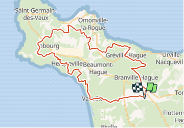
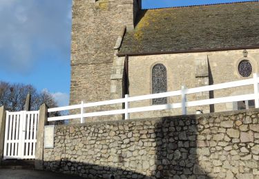
Trail Equestrian of 41 km to be discovered at Normandy, Manche, La Hague. This trail is proposed by tracegps.
Partez sur les traces du chevalier de la lande, qui hante la campagne de la Hague les nuits de tempête. Ce long circuit peut se pratiquer en vélo. Jalonné de nombreux sites intéressants, il vous livre les différents visages de la Hague : sauvage ou industrielle, poète ou préhistorique… Plus de détails sur le circuit (balisage, difficulté…), les points remarquables à proximité et téléchargements sur Manche Tourisme – Loisirs Randonnée GPS.


Cycle
Walking
On foot

Walking
Walking
Walking

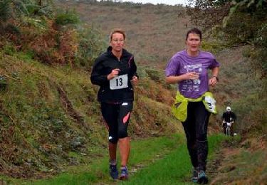
Running
Mountain bike